Hike
Larch Madness on Maple Pass Loop
October 7th 2020
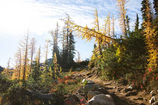
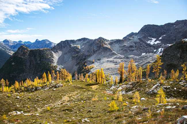
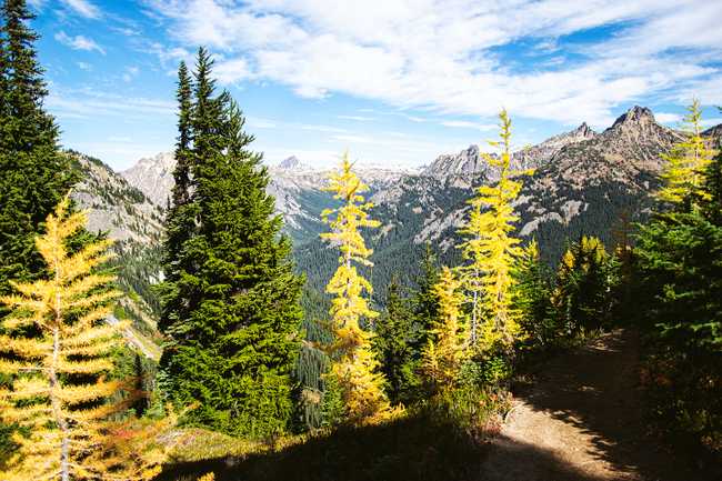
I typically avoid crowded hikes, but Maple Pass Loop during "larch season" is an exception. The 7.5 miles of this trail go quickly as dramatic views grace majority of this trail. Top it with an array of foliage transitioned into fall colors and you have yourself one of the dreamiest hikes in existence.
OVERVIEW
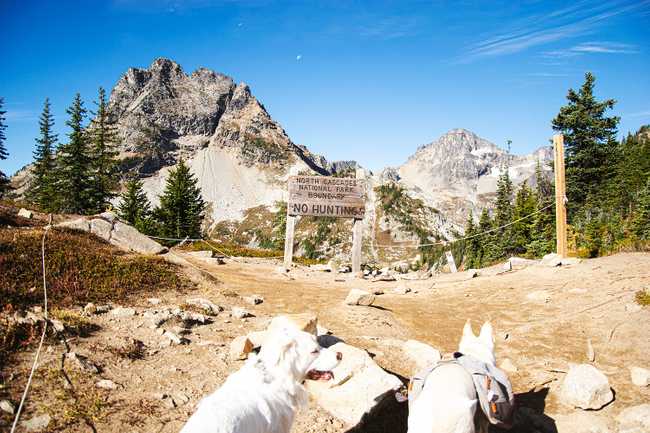
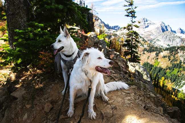
Nestled up on the boundary of the North Cascades National Park is the Maple Pass Loop trail. It resides in the Okanogan-Wenatchee National Forest, which means you’ll need a NW Forest Pass, an America the Beautiful pass, or bring $5 cash to pay at the trailhead. It also means dogs are allowed! And you’ll encounter plenty!
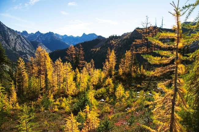
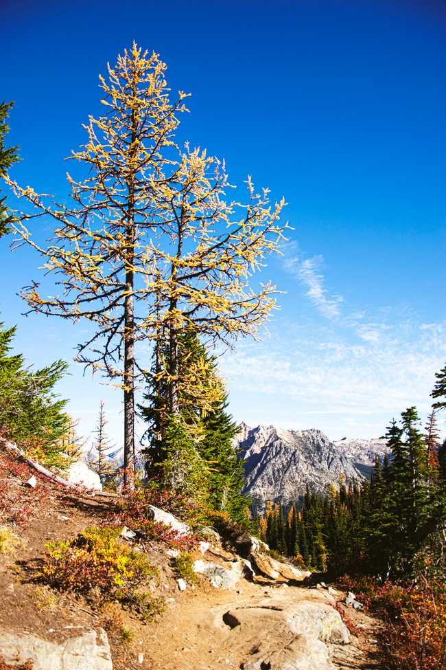
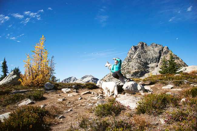
I typically avoid crowded hikes, and there’s no way around that on this hike in early fall, especially when the larches are in their prime golden color. For anyone not familiar, larches are coniferous trees that have their green needles turn golden in autumn, and eventually fall off completely as winter rolls in.
The highest point of this trail is at 6,970 feet of elevation, which means winter conditions hit sooner than most realize (sometimes as early as the final week of september and almost guaranteed by the end of October). This leaves a small window of time where the fall colors are at their most vibrant and before those brilliant colors get covered completely in snow.
This small window means there are maybe 2-3 weekends to experience the fall colors, and it’s no secret as soon as the larches start turning. Weekdays are far better to visit and are totally worth taking a day or two off for.
GETTING THERE
Buckle in, because if you’re coming from Seattle, you’re going to be on the road for at least 3 hours. And you should also probably buckle in even if you’re not having to travel as far, it’s like the law or whatever.
As soon as you turn onto Highway 20 the drive becomes charming as you drive through small towns and approach the North Cascades National Park. The drive takes you past Diablo Lake, which is a great pitstop! You’ll also wind through mountains as you approach the park lot, which will be labeled with a sign reading “Rainy Pass Picnic Area”.
Because of this trail’s popularity, the main parking lot gets full very quickly. There is overflow parking along Highway 20 that you’ll likely have to use to park. Prepare for a potential hike before your hike, there’s reports of the parking extending a mile from the trailhead!
If there isn’t any parking available in the overflow, you might have to bail, so having a few backup hikes is also recommended. Better yet, you can avoid all of that by going on a weekday instead. I can guarantee you it’s worth taking a day off to not have to participate in the “parade of butts” - where you’ll essentially be hiking single file the entire trail.
I left Seattle at 6AM on a Wednesday, arrived at 8:30AM, and managed to get one of the last remaining spots in the main parking lot! When I left around 2PM, the main lot was still full and there were quite a few cars in the overflow areas. But there was still plenty of room. Overall the trail was busy, but not overwhelming like it gets on weekends.
GOING UP
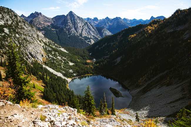
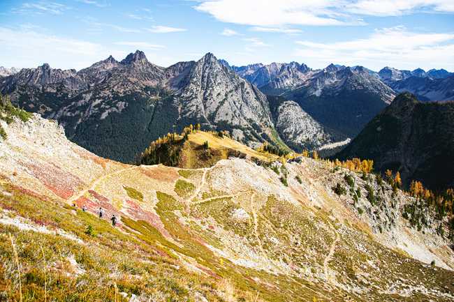
This trail is a full-circle loop, so once you hit the trail head it's a choose-your-own-adventure of what direction you want to take. Going clockwise will hit you with a steep climb, mainly under the treeline, where sights won’t appear until the last mile before you approach the highest elevation of the trail. The 2,000ft gain is done in 3 miles, making this side more challenging. After the gain, the remaining 4 miles will be a gradual descent with sweeping views of the North Cascades and looking down on Lake Ann.
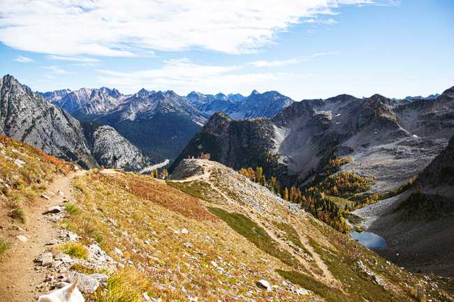
Going counter-clockwise will start more gradually, spreading the 2,000ft gain over 4 miles. Within 2 miles, views of Lake Ann will start emerging. From there every 5-10 minutes of steady hiking will have dramatically changing views until you start descending back into the treeline on the other side (~5.5 miles).
Both times I’ve done this trail, I’ve gone counter-clockwise. You’re climbing up during the most dramatic views, so you’re going to be stopping often anyway to admire them. Most people go this direction, so you also won’t have to fight against the crowd as often as you’re likely going to be if you go clockwise.
THE TOP
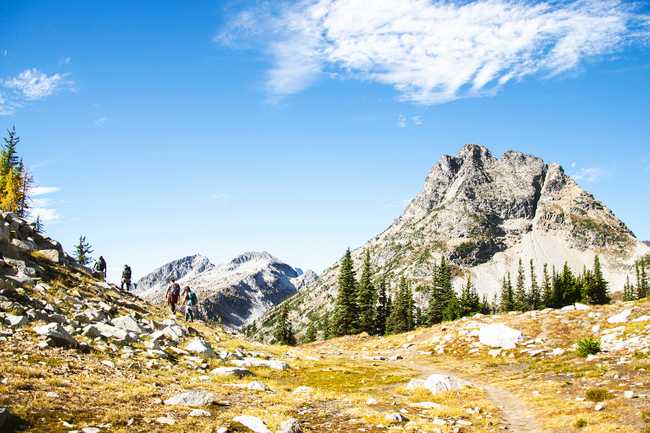
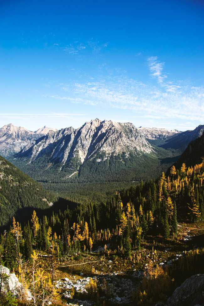
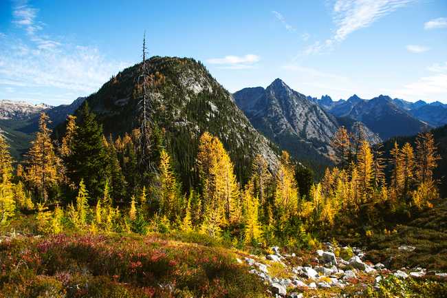
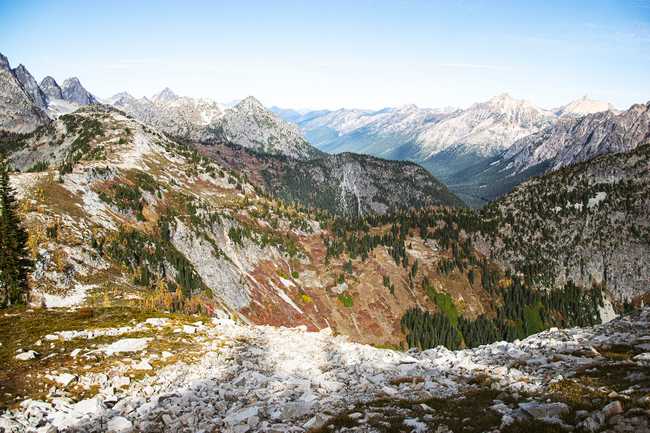
3 miles in, sweeping views of all the surrounding mountain ranges come into view. The trail goes along the boundary of the North Cascades for the next mile, and has plenty of prime spots to take a longer break.
At around 4 miles, you’ll reach the highest elevation of this hike, at 6,970ft. And then the trail is downhill from here. Literally, not figuratively.
WHERE IT GOES DOWNHILL
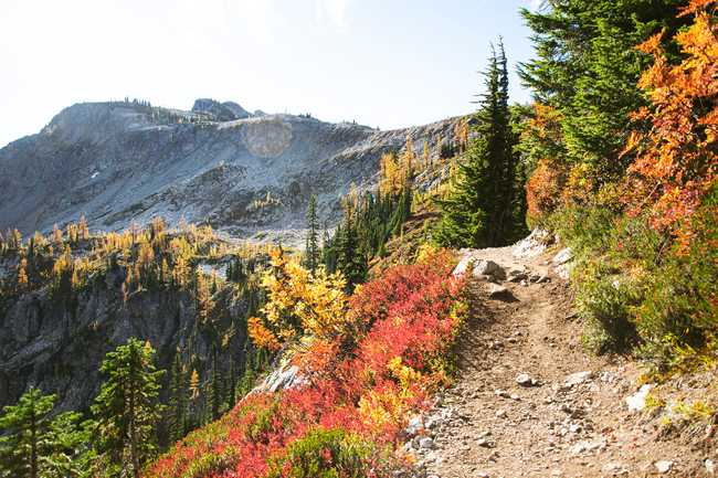
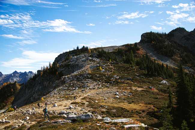
The decent grants amazing views for a solid mile and a half. Before you start heading down, you’re able to see the trail wind between the colorful brush as the trail leads you to a narrow ridgeline that has sharp drop offs and will have you looking back and forth between Lake Ann and Rainy Lake. Which are both stunning alpine lakes that somehow manage to demand as much attention as all the mountains surrounding them. This hike really has it all.
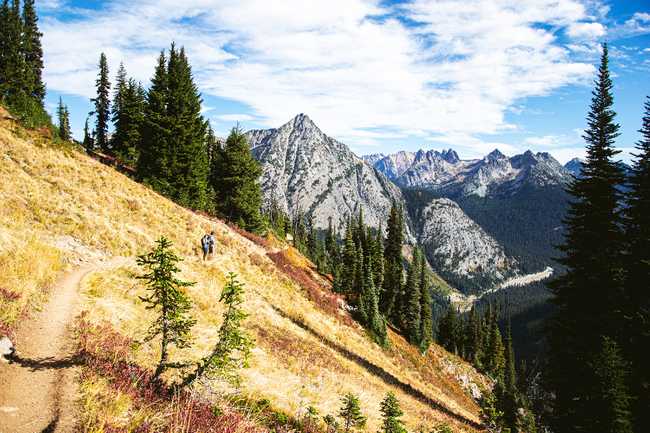
There’s a final cluster of golden larches just before heading back below the treeline. As the views disappear, the familiar lush greens of PNW forests reappears. The rest of the trail is smooth sailing down a series of switchbacks until you meet the paved part of the trail that will lead you back to where you parked.
THAT'S A WRAP!
I got super lucky and caught the larches and other fall colors in their prime, with perfect weather, and shared it all with a relatively small, good-mannered crowd. Really couldn’t have asked for better conditions!
WATCH IT
MORE INFO
Before you go, check the trail reports and get more info:

